ARR
Crediting Period
2022 to 2042
Region
West Bengal, India
Status
Under Validation
Community Benefits
ID
5533
Registry
VERRA
SDGs
9
Fostering Sustainable Development
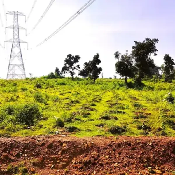
In Jharkhand and the border areas of West Bengal lay several thousands of hectares of remote barren & degraded land, where limited irrigation facilities as well as poor economic conditions pose significant challenges to farmers to follow traditional agriculture practices. As per official data published by the Ministry of Agriculture & Farmers Welfare, the states of Jharkhand and West Bengal had average monthly income between US$ 60-80 per agricultural household in 2019; starkly, these figures are also India’s lowest among other states. These regions see a lot of farmers and landowners migrating to other cities in search of job opportunities and end up doing odd jobs at low wages. In addition, most of the farmers belong to indigenous communities. Being highly remote, the land also lacks any long-term industrial and commercial development potential. Tree plantations help reviving barren land by improving soil fertility, preventing soil erosion, enhancing water retention, promoting biodiversity, replenishing ground water, etc. Additionally, they are natural and proven way to remove carbon.
Project timeline
Land Identification
Consent of Landowners
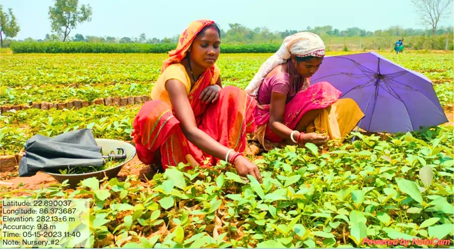
Land & Nursery Preparation
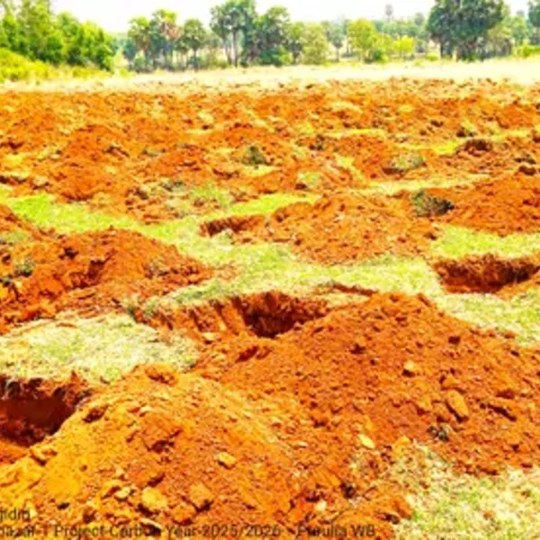
Tree Plantation
Project Listed
Under Validation
Credit Issuance
Project Registration
Project Quality Score
Total Quality Score
Additionality
Verifiability
Robustness of Baseline
Beyond Carbon Impact
Execution Confidence
ESG Compliance Score
Fostering Sustainable Development
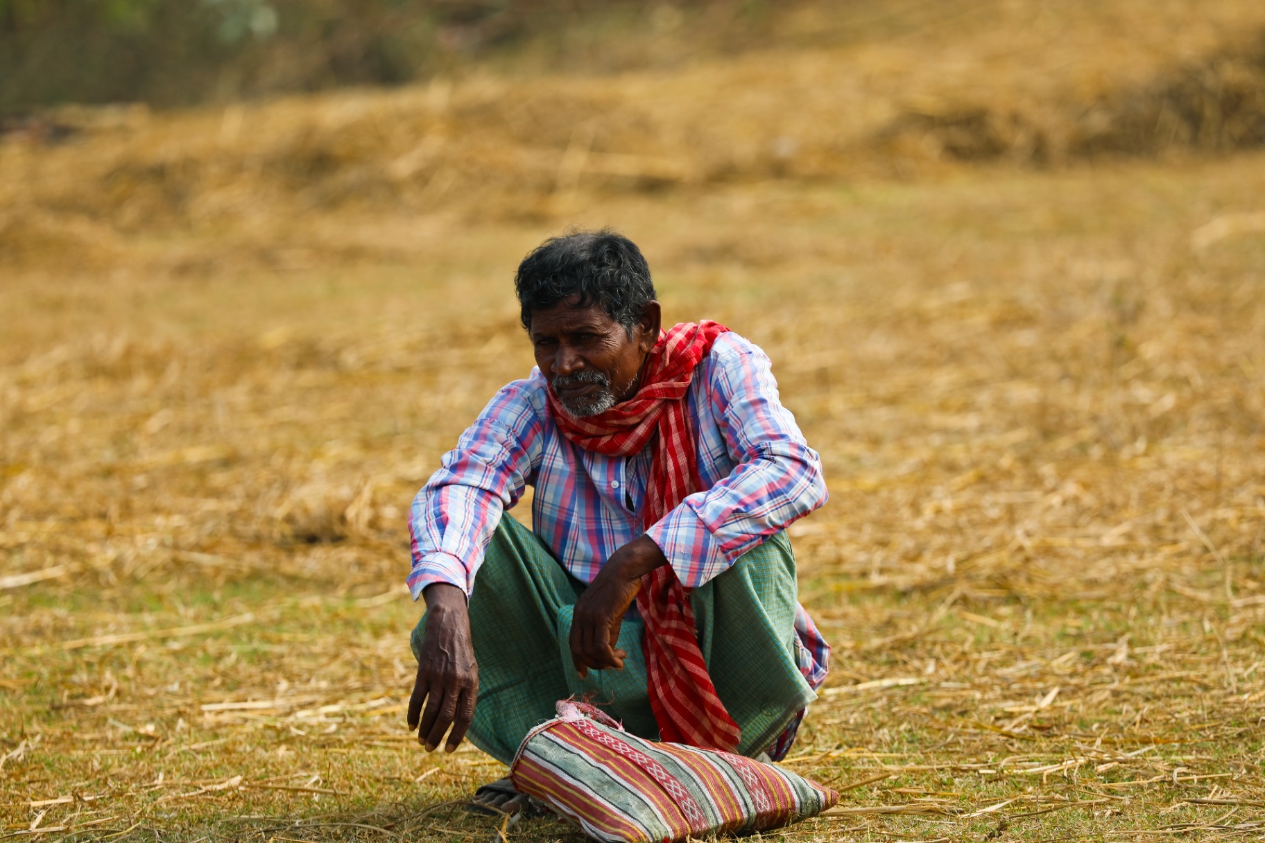
About the farmer
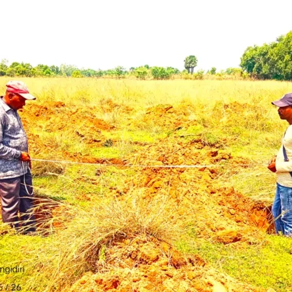
This is the story of Uttam Pal, a landowner belonging to indigenous community from the remote areas of West Bengal from a district called Purulia. Uttam Pal owns 8 acres of land in Purulia, passed on to him by his ancestors. However, the land is fallow and unused, lying as-is for more than 3 decades now and eventually became unfit for cultivation. Additionally, the land parcels also do not command a decent price premium due to its current state and the fact that they are far away from any urban establishments. On top of this, there are restrictions towards transactions of land belonging to indigenous communities. As a result, Uttam Pal neither sell these parcels nor utillise them for any activity. Uttam Pal lived away from his family for a considerable amount of time to sustain a livelihood for his family due to limited opportunities available in Purulia. He had to travel to other states in search of jobs. He could barely manage the wages that helped his family sustain. Lack of resources and capital didn't allow him to put his land to good use. So, in spite of being an owner to 8 acres of land, his and his family’s economic status remains weak. So, is the case for many landowners in the region.
About the region
The Purulia region in West Bengal, Jharkhand, has extremely hot weather conditions (with summer temperatures reaching up to 45°C) further limiting the ability of farmers to grow cereals, pulses, or paddy to only once a year. Groundwater in the region has declined and the region lacks irrigation systems.
Afforestation as a solution
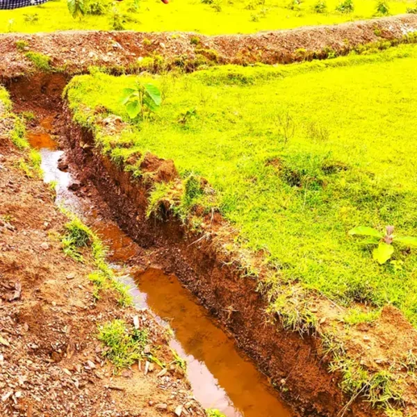
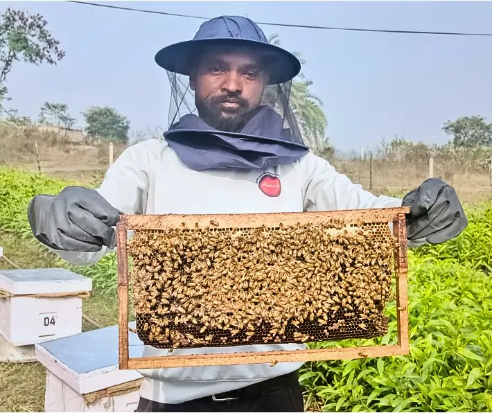
Afforestation revives fallow lands by restoring ecological function, increasing carbon storage, and offering new livelihoods—transforming degraded landscapes into productive, resilient ecosystems. Tree cover and the leaf litter layer will provide protection against soil erosion, create nutrients rich soil and most importantly increase the groundwater table. Apart from providing direct benefits to the villagers such as generating workdays through the project tenure and the non-timber forest produce such as fruits and fodder, the proposed project also commits to a more stable and resilient local climate for the villagers and future generations.
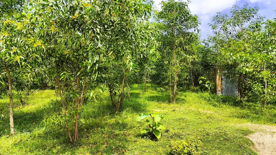
Proposed Project
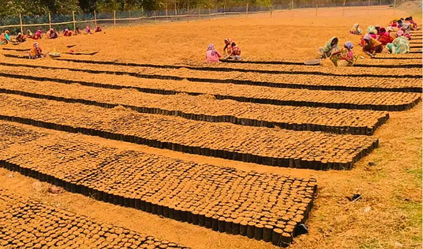
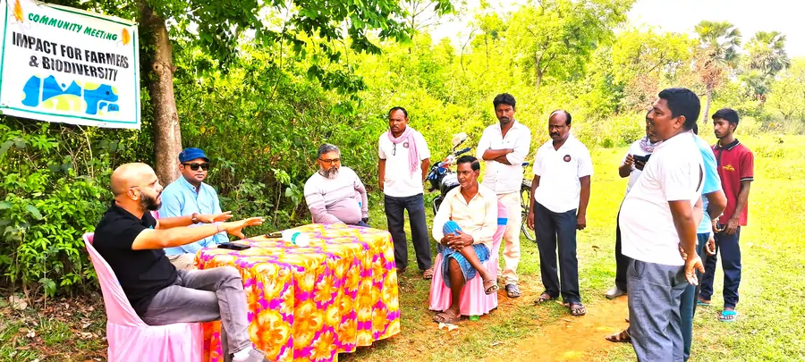
The proposed project is small-scale being developed on ~500 acre of private land which belongs to 157 farmers (mostly belonging to indigenous communities). Hexa has undertaken an independent Title Search to ascertain landownership and ensure that land is free from any external encumbrances. To ensure resilience of saplings, only indigenous and seed grown saplings are being grown instead of grafted ones. Under the project, cost for end-to-end implementation of the project is being undertaken by Hexa. Plantations will be maintained for a minimum carbon permanence period of 40 years. Trees will be preserved and most of the carbon stock conserved without any harvesting.
Project Partners
Implementation Partner: Hexa has partnered with a renowned implementation partner which has a considerable experience in setting up afforestation projects in India. Over the past decade and a half, their team has planted over 17 million trees across India aligning with United Nations’ Sustainable Development Goals (SDGs) and worked extensively in the same region. Carbon Consultant: Hexa has engaged a renowned carbon consultant to handhold it during the entire carbon process, from listing until issuance of credits. Carbon Consultant has worked on over 250 carbon project registrations including 10 in Nature Based Solutions in India and abroad.
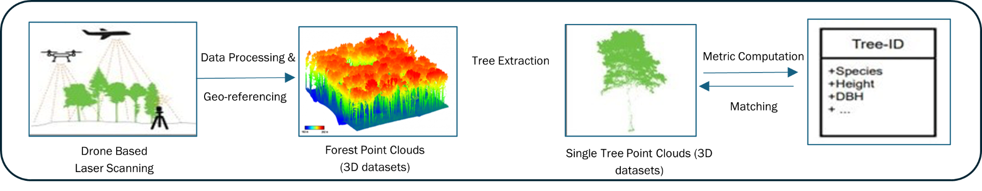
Technology Interventions for monitoring the Project
To estimate total carbon credits generated by any Afforestation project, developers have to count the total number of trees surviving under the project, measure certain parameters such as trunk diameter and height etc. which determines the biomass present in the trees. This activity, often, is undertaken by sampling routes, which may lead to estimation bias and survey errors. To overcome this issue, Hexa has planned a host of Technology Interventions that will be deployed while monitoring the project
Digital App: Digital app is being used to collect ground level data
Remote Sensing: Satellite based remote sensing for validation of previous land use patterns, monitor forest cover changes, clearly defining the baseline are proposed to be deployed during carbon validation.
Drone Based LiDAR Technology: Light Detection and Ranging. Remote sensing technology that works by emitting thousands of laser pulses per second & measuring time taken for pulse to return, creating detailed 3 D maps of trees Estimates biomass based on tree species, count, height, breath, etc. Exact estimation of Biomass without any survey bias LiDAR based surveys are proposed to be deployed during every monitoring & verification activity.
Project Gallery
Beyond Carbon Impact